


Nikhil Hubballi
Featured
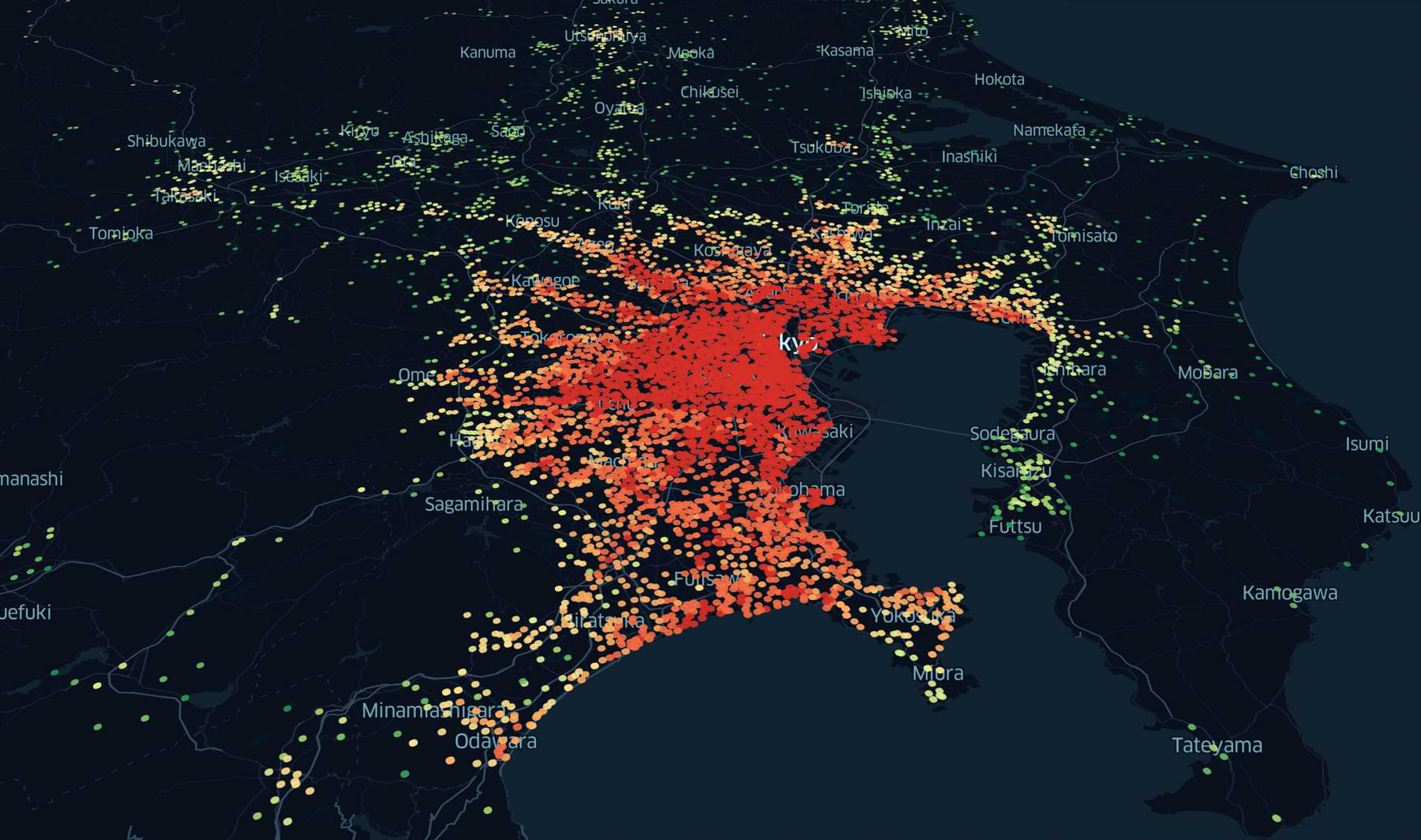
Spatial Analytics
Mar 12, 2022
7 minutes
Latest articles


March 12, 2022
/
7 minutes
In this tutorial, let’s look at how to download rainfall satellite data from CHRS Data portal using python.

Nikhil Hubballi
May 12, 2021
/
15 minutes
Add another layer of security to your documents by using physical & digital methods to manage personal documents & credentials.

May 5, 2021
/
15 minutes
If you wish to build integrated & automated workflows for large-scale projects, use Geopackage files instead of shapefile or GeoJSON.
Nikhil Hubballi
April 1, 2021
/
9 minutes
Even though QGIS has extensive GUI features for use of algorithms, sometimes it's essential to have a way to deal with Python scripts.

Nikhil Hubballi
March 21, 2021
/
21 minutes
In this blog, we look at how geocoding is done and how to geocode addresses for free using different services available mainly API.

Nikhil Hubballi
April 24, 2020
/
10 minutes
Alternative data is helping companies by providing more accurate, faster and more granular insights to drive data-driven decisions.
Nikhil Hubballi
April 18, 2020
/
12 minutes
Landsat satellite imagery has helped in numerous scientific and commercial applications all over the world since its inception.

Nikhil Hubballi
April 17, 2020
/
9 minutes
In the last 10 years, Data science and analytics has been the talk of the town everywhere. Data analytics has helped many companies make their decision making faster.
Do you like our stuff? Subscribe now.
Join the Pack!
Liked the content on this page? Get my articles & new insights right in your inbox. Subscribe to join many other readers.

An error has occurred somewhere and it is not possible to submit the form. Please try again later or contact us.


